 |
Central Guatemala: FEGUA Terminal at Puerto San José |
Album Overview
Photo Index
  |
|
More photos in the vicinity: Former Railway Terminal at Puerto San José Beach between Puerto San José and Puerto Quetzal Public Transport |
A close-up of the railway terminal at San José gives some idea of the scale of the task facing the Railroad Development Corporation (RDC, USA) in reviving railways in Guatemala. |
|
|
Date: Jän 02, 2005 Longitude: -90° 49.14' Latitude: 13° 55.06'  
Show Photo Position in Google Maps |
||
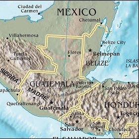 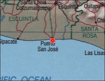 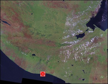 Map references: left: courtesy CIA, middle: courtesy US LoC Map Collection, right: courtesy NASA. This page has been updated on: 2007-Nov-08 |
||