 |
Bretagne: Pointe du Roselier between Saint-Laurent-de-la-Mer and Les Rosaires |
Album Overview
Photo Index
  |
|
More photos in the vicinity: Saint Laurent-de-la- Mer Pointe du Roselier Sous La Tour, St-Laurent-de-la-Mer |
A first glimpse of what to expect along the path soon after leaving the densly populated towns of St. Brieux and Saint-Laurent-de-la-Mer.  |
|
|
Date: Jun 08, 2008 Longitude: -2° 42.88' Latitude: 48° 33.28'  
Show Photo Position in Google Maps |
||
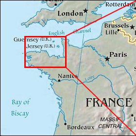   Map references: left: courtesy CIA, middle: courtesy US LoC Map Collection, right: courtesy NASA. This page has been updated on: 2009-Feb-03 |
||