 |
Fogo: Ponta do Guincho |
Album Overview
Photo Index
  |
|
More photos in the vicinity: Center of Mosteiros Municipal Office of Mosteiros Banana Tree at Pai António |
 |
|
|
Date: Nov 21, 2007 Longitude: -24° 20.91' Latitude: 15° 2.65'  
Show Photo Position in Google Maps |
||
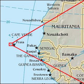   Map references: left: courtesy CIA, middle: courtesy US LoC Map Collection, right: courtesy NASA. This page has been updated on: 2011-Jul-28 |
||