 |
San Francisco: China Town II |
Album Overview
Photo Index
  |
|
More photos in the vicinity: China Town The Pyramid New York I |
Standing in the middle of chinese shops, restaurants and buildings you recognize, that until the construction of the continental railroad East Asia was closer to the US than the East Cost or Europe. |
|
|
Date: Dec 02, 2006 Longitude: -122° 24.39' Latitude: 37° 47.70'  
Show Photo Position in Google Maps |
||
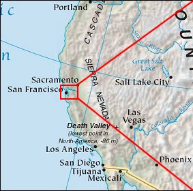   Map references: left: courtesy CIA, middle: courtesy US LoC Map Collection, right: courtesy NASA. This page has been updated on: 2007-Nov-09 |
||