 |
Gran Canaria: Mirador de Becerra II |
Album Overview
Photo Index
  |
|
More photos in the vicinity: Mirador de Becerra I Pico de Teide Paso La Cumbre |
One of the many pine-tree forests of the island can be found north to the Mirador de Becerra. |
|
|
Date: Nov 23, 2004 Longitude: -15° 35.60' Latitude: 27° 59.31'  
Show Photo Position in Google Maps |
||
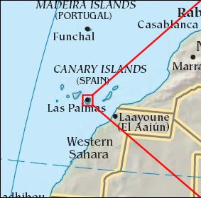   Map references: left: courtesy CIA, middle: courtesy Cicar, right: courtesy NASA. This page has been updated on: 2007-Nov-08 |
||