 |
Gran Canaria: On the way to the South Coast |
Album Overview
Photo Index
  |
|
More photos in the vicinity: Embalse de los Horros Roque Nublo La Culata |
Looking from Roque Nublo southwards you can see the Costa Canaria with the dunes of Maspalomas, being visible in the center of the photo (distance approx. 20 km). |
|
|
Date: Nov 23, 2004 Longitude: -15° 35.25' Latitude: 27° 56.16'  
Show Photo Position in Google Maps |
||
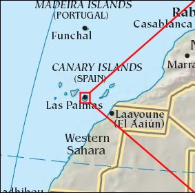   Map references: left: courtesy CIA, middle: courtesy Cicar, right: courtesy NASA. This page has been updated on: 2007-Nov-08 |
||