| Berner Oberland: Thuner See and Berner Oberland | |
| Home - Index - Random Photo |   |
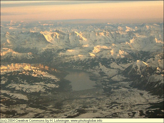
| This aerial photo has been taken early in the morning just about northwest of Bern. In the foreground you see the Thuner See with the Berner Oberland in the background. Jungfrau, Mönch, and Eiger are clearly seen on this photo. | ||
 |
||
|
Date: Feb 07, 2004 Longitude: 7° 10.41' Latitude: 47° 1.78'  
|
||
  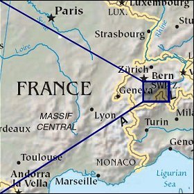 Map references: left: courtesy of NASA, middle: LOC map collection, right: CIA. This page has been updated on: 2006-Oct-26 |
||