 |
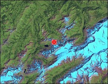
Swiss Alps: Blümlisalp |
Album Overview
Photo Index
  |
|
More photos in the vicinity: Wild Glaciers Glacier Tongues Moraine walk |
The mountains here belong to the Blümlisalp group near Kandersteg. |
|
|
Date: Oct 08, 2005 Longitude: 7° 45.77' Latitude: 46° 30.75'  
Show Photo Position in Google Maps |
||
   Map references: left: courtesy CIA, middle: courtesy US LoC Map Collection, right: courtesy NASA. This page has been updated on: 2007-Nov-08 |
||