 |
Mahé: The Northern Part of Mahé |
Album Overview
Photo Index
  |
|
More photos in the vicinity: The Island of St. Anne Ile au Cerf The Port of Victoria |
Taking the catamaran to Praslin brings you to the neighboring island within 45 minutes. Here we see the northern part of Mahé as we are heading towards Praslin. |
|
|
Date: Jän 25, 2007 Longitude: 55° 29.57' Latitude: -4° 35.84'  
Show Photo Position in Google Maps |
||
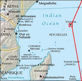   Map references: left: courtesy CIA, middle: courtesy US LoC Map Collection, right: courtesy NASA. This page has been updated on: 2007-Nov-08 |
||