 |
Helgoland: Bird's-eye View |
Album Overview
Photo Index
  |
|
More photos in the vicinity: Lange Anna Close-up of Lange Anna Northern Gannet |
Helgoland in the foreground has a size of approx. 1 km2. The dune island in the background is roughly half of that size and is not permanently populated.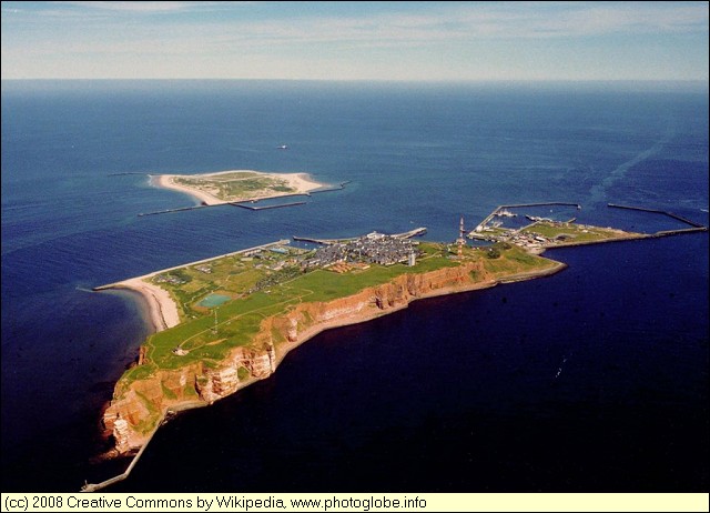 |
|
|
Date: Feb 12, 2009 Longitude: 7° 50.04' Latitude: 54° 11.19'  
Show Photo Position in Google Maps |
||
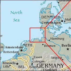   Map references: left: courtesy CIA, middle: courtesy US LoC Map Collection, right: courtesy NASA. This page has been updated on: 2009-Feb-23 |
||