 |
Lower Austria: Preiner Wand and Königsschusswand |
Album Overview
Photo Index
  |
|
More photos in the vicinity: Südliche Lechnermauern Karl-Ludwig Haus Königsschusswand |
 |
|
|
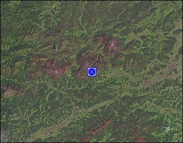
Date: Aug 28, 2003 Longitude: 15° 43.74' Latitude: 47° 42.16'  
Show Photo Position in Google Maps |
||
   Map references: left: courtesy CIA, middle: courtesy LOC map collection, right: courtesy NASA. This page has been updated on: 2011-Jul-29 |
||