 |
Lower Austria: Schneeberg |
Album Overview
Photo Index
  |
|
More photos in the vicinity: Klosterwappen of Schneeberg Schneeberg seen from Raxalpe Raxalpe |
 |
|
|
Date: Aug 28, 2003 Longitude: 15° 46.32' Latitude: 47° 43.14'  
Show Photo Position in Google Maps |
||
 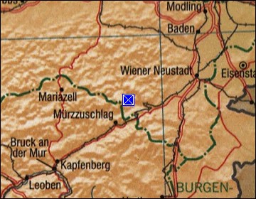 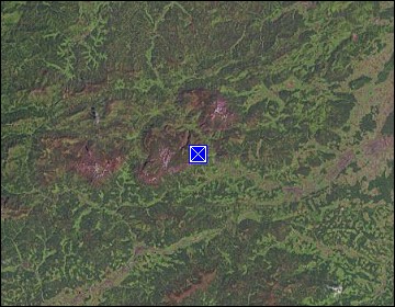 Map references: left: courtesy CIA, middle: courtesy LOC map collection, right: courtesy NASA. This page has been updated on: 2011-Jul-29 |
||