 |
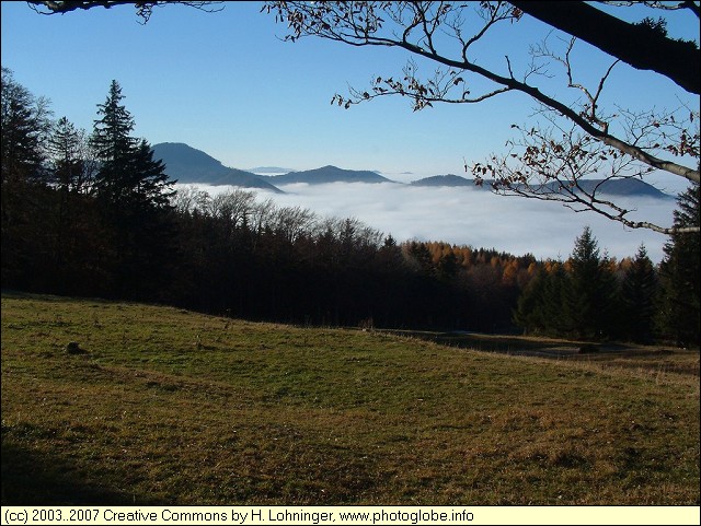
Lower Austria: [austria_20031109_006.jpg] |
Album Overview
Photo Index
  |
|
More photos in the vicinity: [austria_20031109_007.jpg] Auerhahn Landscape covered by Fog |
 |
|
|
Date: Nov 09, 2003 Longitude: 15° 35.64' Latitude: 47° 59.27'  
Show Photo Position in Google Maps |
||
 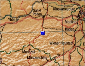 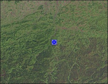 Map references: left: courtesy CIA, middle: courtesy LOC map collection, right: courtesy NASA. This page has been updated on: 2011-Jul-29 |
||