 |
Lower Austria: Altenwörth |
Album Overview
Photo Index
  |
|
More photos in the vicinity: [austria_20040610_005.jpg] [austria_20040610_010.jpg] [austria_20040610_009.jpg] |
 |
|
|
Date: Jun 10, 2004 Longitude: 15° 51.84' Latitude: 48° 22.70'  
Show Photo Position in Google Maps |
||
 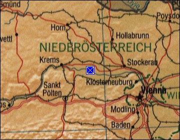 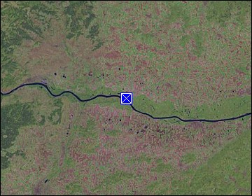 Map references: left: courtesy CIA, middle: courtesy LOC map collection, right: courtesy NASA. This page has been updated on: 2011-Jul-29 |
||