 |
Lower Austria: Cows at the Pasture |
Album Overview
Photo Index
  |
|
More photos in the vicinity: Looking towards Sonntagsberg Typical Farm House in Lower Austria [austria_20040815_027.jpg] |
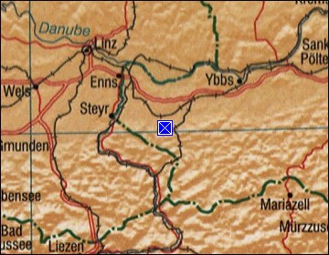
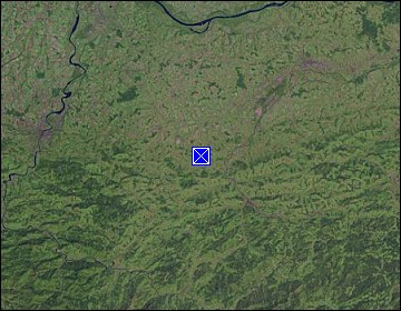
This part of Lower Austria is rather hilly - in fact too hilly to perform other than livestock farming. |
|
|
Date: Aug 15, 2004 Longitude: 14° 41.47' Latitude: 48° 0.90'  
Show Photo Position in Google Maps |
||
   Map references: left: courtesy CIA, middle: courtesy LOC map collection, right: courtesy NASA. This page has been updated on: 2011-Jul-29 |
||