 |
Lower Austria: Burg Lichtenfels |
Album Overview
Photo Index
  |
|
More photos in the vicinity: Ottensteiner Stausee and Burg Lichtenfels Rastbach Ruine Senftenberg |
The ruin Lichtenfels has been built in the 12th century and was abandoned in the 18th century. |
|
|
Date: Oct 14, 2007 Longitude: 15° 19.42' Latitude: 48° 35.02'  
Show Photo Position in Google Maps |
||
 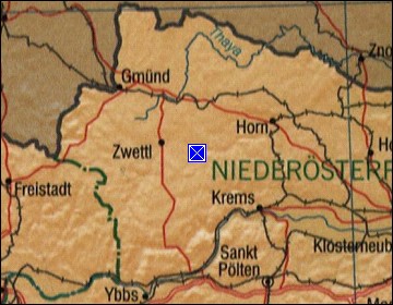 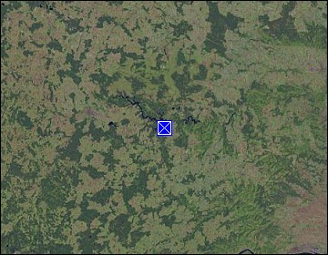 Map references: left: courtesy CIA, middle: courtesy LOC map collection, right: courtesy NASA. This page has been updated on: 2011-Jul-29 |
||