 |
Lower Austria: Landscape near Hagenberg |
Album Overview
Photo Index
  |
|
More photos in the vicinity: Landscape near Hagenberg Staatzer Klippe Staatzer Klippe |
 |
|
|
Date: Sep 25, 2005 Longitude: 16° 26.53' Latitude: 48° 37.86'  
Show Photo Position in Google Maps |
||
 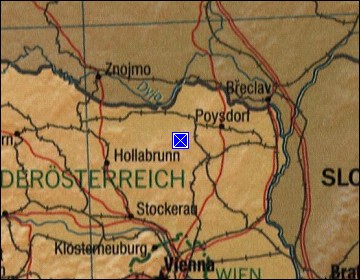  Map references: left: courtesy CIA, middle: courtesy LOC map collection, right: courtesy NASA. This page has been updated on: 2011-Jul-29 |
||