 |
Lower Austria: Staatzer Klippe |
Album Overview
Photo Index
  |
|
More photos in the vicinity: Staatzer Klippe Staatzer Klippe Ruins of Staatz |
The Staatzer Klippe has been formed during the late phase of the alpine orogeny, approx. 17 million years ago. Geologically, the Staatzer Klippe is an isolated piece of limestone which is floating on soft sediments. |
|
|
Date: Sep 25, 2005 Longitude: 16° 29.60' Latitude: 48° 39.49'  
Show Photo Position in Google Maps |
||
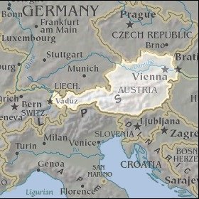
   Map references: left: courtesy CIA, middle: courtesy LOC map collection, right: courtesy NASA. This page has been updated on: 2011-Jul-29 |
||