 |
Costa del Sol: The Beach of Salobreña |
Album Overview
Photo Index
  |
|
More photos in the vicinity: Salobreña The Beach of Salobreña Salobreña |
The beach of Salobreña is at a promontory created by the river Rio Guadalfeo. The agricultural land behind the high-risers is used to frow sugar cane.  |
|
|
Date: Aug 05, 2006 Longitude: -3° 36.95' Latitude: 36° 44.66'  
Show Photo Position in Google Maps |
||
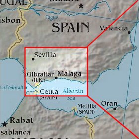   Map references: left: courtesy CIA, middle: courtesy US LoC Map Collection, right: courtesy NASA. This page has been updated on: 2007-Nov-08 |
||