 |
Costa del Sol: Africa seen from Punta del Canero |
Album Overview
Photo Index
  |
|
More photos in the vicinity: Africa seen from Punta del Canero Africa seen from Punta del Canero Céuta seen from Punta del Canero |
 |
|
|
Date: Aug 17, 2006 Longitude: -5° 25.74' Latitude: 36° 4.57'  
Show Photo Position in Google Maps |
||
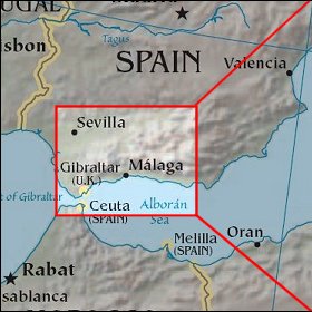 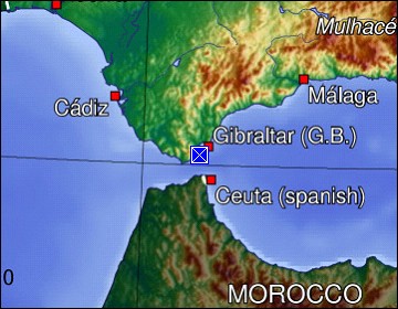 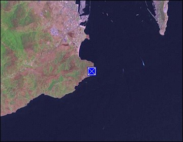 Map references: left: courtesy CIA, middle: courtesy US LoC Map Collection, right: courtesy NASA. This page has been updated on: 2007-Nov-08 |
||