 |
Djerba: Mountains near Beni Zelten |
Album Overview
Photo Index
  |
|
More photos in the vicinity: Valley above Beni Zelten and Tounine Valley above Beni Zelten and Tounine Valley above Beni Zelten and Tounine |
 |
|
|
Date: Feb 05, 2001 Longitude: 10° 6.41' Latitude: 33° 29.46'  
Show Photo Position in Google Maps |
||
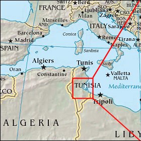   Map references: left: courtesy CIA, middle: courtesy US LoC Map Collection, right: courtesy NASA. This page has been updated on: 2007-Nov-08 |
||