 |
Dornbirn: Dornbirner Ache and Hangspitze |
Album Overview
Photo Index
  |
|
More photos in the vicinity: Karren, Staufen, and Breitenberg Hangspitze seen from inatura inatura |
The river "Dornbirner Ache" flows right through Dornbirn. In the background you see the mountain range of Hangspitze and Mörzelspitze. |
|
|
Date: Jun 07, 2006 Longitude: 9° 44.53' Latitude: 47° 24.38'  
Show Photo Position in Google Maps |
||
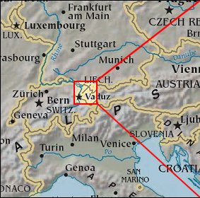   Map references: left: courtesy CIA, middle: courtesy US LoC Map Collection, right: courtesy NASA. This page has been updated on: 2007-Nov-07 |
||