 |
Berchtesgadner Land: Hoher Göll |
Album Overview
Photo Index
  |
|
More photos in the vicinity: Hoher Göll Kehlstein and Hoher Göll Steinernes Meer and Watzmann |
 |
|
|
Date: Feb 07, 2005 Longitude: 12° 59.72' Latitude: 47° 36.45'  
Show Photo Position in Google Maps |
||
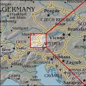 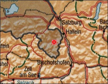  Map references: left: courtesy CIA, middle: courtesy US LoC Map Collection, right: courtesy NASA. This page has been updated on: 2007-Nov-07 |
||