 |
Rome: Palazzo del Quirinale |
Album Overview
Photo Index
  |
|
More photos in the vicinity: The City of Rome seen from Castel S. Angelo San Piedro seen from Castel S. Angelo Ponte Vittorio Emanuele II |
 |
|
|
Date: Jul 09, 2006 Longitude: 12° 27.99' Latitude: 41° 54.17'  
Show Photo Position in Google Maps |
||
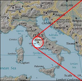 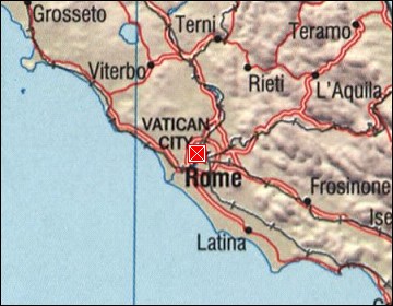  Map references: left: courtesy CIA, middle: courtesy US LoC Map Collection, right: courtesy NASA. This page has been updated on: 2007-Nov-08 |
||