 |
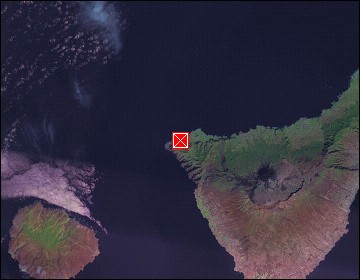
Tenerife: Buenavista del Norte |
Album Overview
Photo Index
  |
|
More photos in the vicinity: La Gomera seen from Faro de Teno Landscape near Masca Ravine of Masca |
 |
|
|
Date: Feb 06, 2004 Longitude: -16° 53.05' Latitude: 28° 22.00'  
Show Photo Position in Google Maps |
||
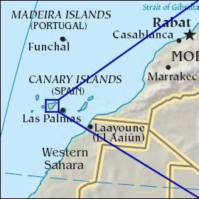   Map references: left: courtesy CIA, middle: courtesy Cicar, right: courtesy NASA. This page has been updated on: 2007-Nov-08 |
||