 |
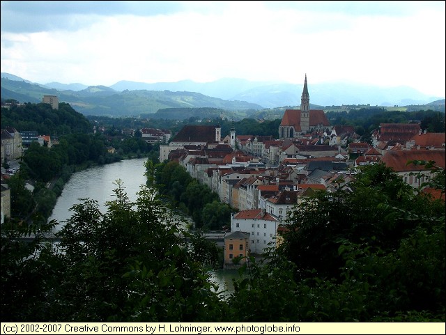
Upper Austria: [austria_20040815_016.jpg] |
Album Overview
Photo Index
  |
|
More photos in the vicinity: [austria_20040815_018.jpg] The Confluence of Steyr and Enns Market Square and Parish Church of Steyr |
 |
|
|
Date: Aug 15, 2004 Longitude: 14° 25.38' Latitude: 48° 2.64'  
Show Photo Position in Google Maps |
||
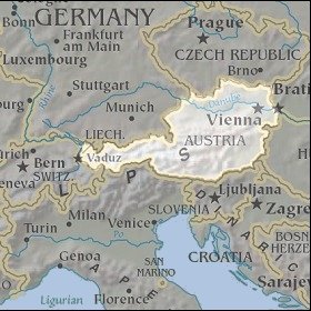 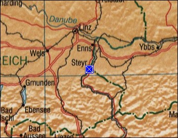 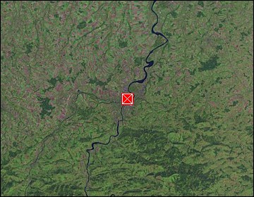 Map references: left: courtesy CIA, middle: courtesy LOC map collection, right: courtesy NASA. This page has been updated on: 2007-Nov-06 |
||