 |
Vienna: Grounds of Schönbrunn |
Album Overview
Photo Index
  |
|
More photos in the vicinity: Gloriette Gloriette Garden at Schönbrunn |
The park of Schönbrunn covers more than 1 km². It was opened to the public in 1779. The Gloriette in the background of the photo has been built as "Schönbrunn's Belvedere". In fact it is a fine vantage point from where you can see a large part of Vienna. |
|
|
Date: Sep 17, 2004 Longitude: 16° 18.67' Latitude: 48° 11.03'  
Show Photo Position in Google Maps |
||
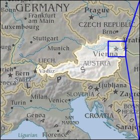   Map references: left: courtesy CIA, middle: courtesy LOC map collection, right: courtesy NASA. This page has been updated on: 2007-Nov-06 |
||