 |
Vienna: Park of Schönbrunn |
Album Overview
Photo Index
  |
|
More photos in the vicinity: Baumgartner Höhe seen from Gloriette Baumgartner Höhe seen from Gloriette Schloss Wilhelminenberg |
This is the view from the top of Gloriette towards the north. In the front you see the park of Schönbrunn and its main building (under reconstruction). In the central background you see the Leopoldsberg and the Kahlenberg. |
|
|
Date: Sep 17, 2004 Longitude: 16° 18.53' Latitude: 48° 10.70'  
Show Photo Position in Google Maps |
||
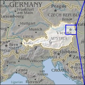 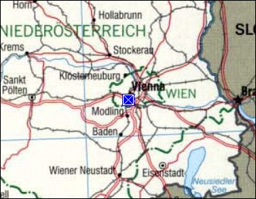 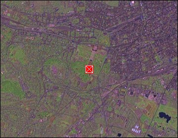 Map references: left: courtesy CIA, middle: courtesy LOC map collection, right: courtesy NASA. This page has been updated on: 2007-Nov-06 |
||