 |
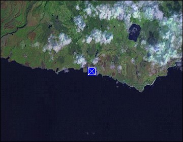
Hawaii/Kauai: Kawaimanu |
Album Overview
Photo Index
  |
|
More photos in the vicinity: Kukui'ula Small Boat Harbor Spouting Horn Pacific Sunset |
Isolated from the mountains and hills of the central and western Island the Kawaimanu is a significant land mark on the Island's east side. Its sharp ridge is formed by the trade winds and rains, constantly washing away the ancient volcanic rocks. |
|
|
Date: Dec 06, 2006 Longitude: -159° 29.62' Latitude: 21° 53.14'  
Show Photo Position in Google Maps |
||
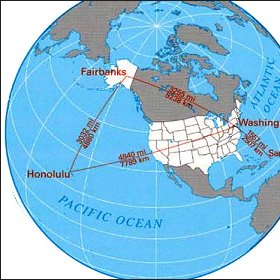   Map references: left: courtesy CIA, middle: courtesy US LoC Map Collection, right: courtesy NASA. This page has been updated on: 2011-Jul-28 |
||