 |
Hawaii/Kauai: Waterfall at Waimea Canyon |
Album Overview
Photo Index
  |
|
More photos in the vicinity: Waimea Canyon Hike along Waimea Canyon II Hiking along the Waimea Canyon IV |
From time to time a waterfall divides the flanks of the canyon and supplies its bottom with the water necessary to grow all the tropical plants down there. |
|
|
Date: Dec 07, 2006 Longitude: -159° 39.53' Latitude: 22° 6.15'  
Show Photo Position in Google Maps |
||
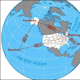 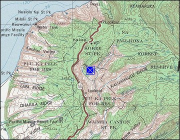 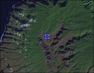 Map references: left: courtesy CIA, middle: courtesy US LoC Map Collection, right: courtesy NASA. This page has been updated on: 2011-Jul-28 |
||