 |
Oman: Landscape near Al Awabi |
Album Overview
Photo Index
  |
|
More photos in the vicinity: Fort of Rustaq Misfah al Abriyeen Misfah al Abriyeen |
 |
|
|
Date: Feb 26, 2010 Longitude: 57° 31.90' Latitude: 23° 18.93'  
Show Photo Position in Google Maps |
||
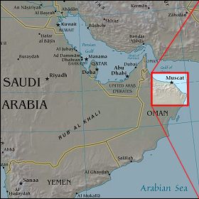   Map references: left: courtesy CIA, middle: courtesy US LoC Map Collection, right: courtesy NASA. This page has been updated on: 2011-Jul-31 |
||