 |
Paris: Basilique Saint-Denis |
More about in Wikipedia
Album Overview
Photo Index
  |
|
More photos in the vicinity: Road in Montmatre La Défense and the Western Part of the City Southwestern Part as seen from Montmatre |
Basilica of St Denis is a large abbey church and dates back into the 7th century. The kings of France and their families were buried for centuries in this church and therefore is often referred to as the "royal necropolis of France". |
|
|
Date: Jul 10, 2008 Longitude: 2° 21.49' Latitude: 48° 56.15'  
Show Photo Position in Google Maps |
||
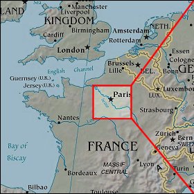 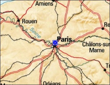 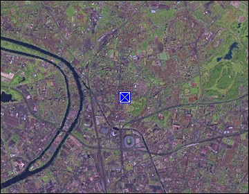 Map references: left: courtesy CIA, middle: courtesy US LoC Map Collection, right: courtesy NASA. This page has been updated on: 2011-Jul-31 |
||