 |
Cebu: Blockhouse at Boljoon |
Album Overview
Photo Index
  |
|
More photos in the vicinity: Spanish Church at Boljoon Gate of the Boljoon Church Ruins of a Watchtower |
A two level blockhouse just within the church complex of Boljoon. Artillery was once mounted at the roofed parapet to ward off invading Muslims during the Spanish Colonial period. |
|
|
Date: Sep 09, 2007 Longitude: 123° 28.86' Latitude: 9° 38.09'  
Show Photo Position in Google Maps |
||
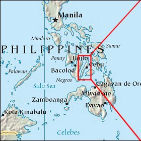   Map references: left: courtesy CIA, middle: courtesy US LoC Map Collection, right: courtesy NASA. This page has been updated on: 2007-Nov-08 |
||