 |
Cebu: Cebu Harbor |
Album Overview
Photo Index
  |
|
More photos in the vicinity: Fort San Pedro Garden Fort San Pedro Miguel Lopez de Legaspi Monument |
A view of Cebu Harbor from the Metro Ferry, a cheap boat service that links the cities of Cebu and Lapu-Lapu. |
|
|
Date: Oct 07, 2007 Longitude: 123° 55.80' Latitude: 10° 18.42'  
Show Photo Position in Google Maps |
||
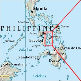   Map references: left: courtesy CIA, middle: courtesy US LoC Map Collection, right: courtesy NASA. This page has been updated on: 2007-Nov-08 |
||