 |
Algarve: The Fortress of Sagres |
Album Overview
Photo Index
  |
|
More photos in the vicinity: The Fortress of Sagres Ponta da Atalaia Beliche Seen from Sagres |
The fortress of Sagres was once one of the most important places. Built in the 15th century, it was at least as important during the Age of Discovery as the US Cape Canaveral was during the early years of space exploration. |
|
|
Date: Jul 18, 2004 Longitude: -8° 56.68' Latitude: 37° 0.18'  
Show Photo Position in Google Maps |
||
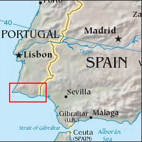 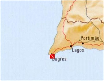 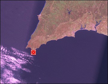 Map references: left: courtesy CIA, middle: courtesy US LoC Map Collection, right: courtesy NASA. This page has been updated on: 2007-Nov-08 |
||