 |
Algarve: Looking Through the Town Wall |
Album Overview
Photo Index
  |
|
More photos in the vicinity: Palm Trees in the Harbor of Lagos Forte da Ponta da Bandeira The Cliffs South of Ferragudo seen from Lagos |
 |
|
|
Date: Jul 19, 2004 Longitude: -8° 40.16' Latitude: 37° 5.94'  
Show Photo Position in Google Maps |
||
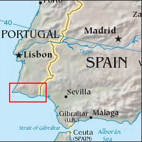 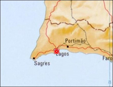 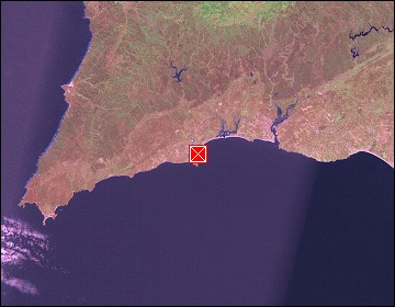 Map references: left: courtesy CIA, middle: courtesy US LoC Map Collection, right: courtesy NASA. This page has been updated on: 2007-Nov-08 |
||