 |
Algarve: Faro Seen from Sao Miguel |
Album Overview
Photo Index
  |
|
More photos in the vicinity: Ilha de Armona Seen from Sao Miguel View Northwards from Sao Miguel View Northwards from Sao Miguel |
 |
|
|
Date: Jul 21, 2004 Longitude: -7° 49.87' Latitude: 37° 6.08'  
Show Photo Position in Google Maps |
||
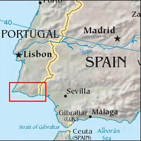  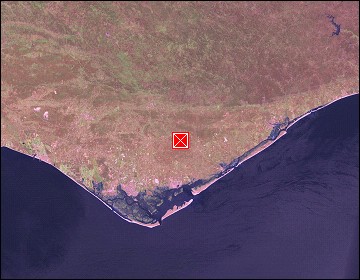 Map references: left: courtesy CIA, middle: courtesy US LoC Map Collection, right: courtesy NASA. This page has been updated on: 2007-Nov-08 |
||