 |
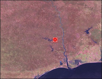
Algarve: Barragem de Odeleite |
Album Overview
Photo Index
  |
|
More photos in the vicinity: Barragem de Odeleite Barragem de Odeleite Barragem de Odeleite |
The water level of the reservoir of Odeleite fell about 10 m due to the very dry summer in 2004. Especially June showed extreme high temperatures beyond 40°C. |
|
|
Date: Jul 26, 2004 Longitude: -7° 29.95' Latitude: 37° 20.16'  
Show Photo Position in Google Maps |
||
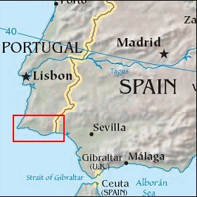   Map references: left: courtesy CIA, middle: courtesy US LoC Map Collection, right: courtesy NASA. This page has been updated on: 2007-Nov-08 |
||