 |
Central Guatemala: Flores and Lago Petén Itzá |
Album Overview
Photo Index
  |
|
More photos in the vicinity: Small Volcanic Hills Quarry Flores |
In the background you see part of Lago Petén Itzá and the church of Flores.The lake, surrounded by a virgin land of old ceibas and mahogany trees, is a great wildlife refuge. |
|
|
Date: Dec 19, 2004 Longitude: -89° 54.84' Latitude: 16° 54.62'  
Show Photo Position in Google Maps |
||
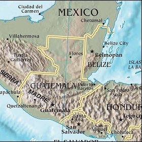   Map references: left: courtesy CIA, middle: courtesy US LoC Map Collection, right: courtesy NASA. This page has been updated on: 2007-Nov-08 |
||