 |
Central Guatemala: Church of San Lucas |
Album Overview
Photo Index
  |
|
More photos in the vicinity: Volcán Atitlán at the Lago de Atitlán Lago de Atitlán Cerro de Oro and Volcán San Pedro |
A typical Guatemalan XMas tree is placed in front of the church of San Lucas. |
|
|
Date: Dec 26, 2004 Longitude: -91° 8.83' Latitude: 14° 38.30'  
Show Photo Position in Google Maps |
||
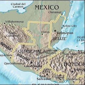 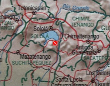  Map references: left: courtesy CIA, middle: courtesy US LoC Map Collection, right: courtesy NASA. This page has been updated on: 2007-Nov-08 |
||