 |
Stockholm: Djurgårdsbrunnskanal |
Album Overview
Photo Index
  |
|
More photos in the vicinity: Lilla Värtan Fjäderholmarna Djurgården seen from TV Tower |
The Djurgårdsbrunnskanal separates Stockholms green refuge Djurgården from the rest of the city. The eastern part of Djurgården not only offers many kilometers of walkways but is also an ecosystem of its own. |
|
|
Date: Jul 25, 2005 Longitude: 18° 8.19' Latitude: 59° 19.69'  
Show Photo Position in Google Maps |
||
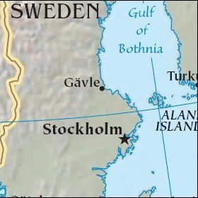   Map references: left: courtesy CIA, middle: historic map of 1912, right: courtesy NASA. This page has been updated on: 2007-Nov-08 |
||