 |
Stockholm: Wrangelska palatset |
Album Overview
Photo Index
  |
|
More photos in the vicinity: Riddarholmskyrkan Stenbockska palatset Stadshuset |
The Wrangelska palatset was home to the royal family from 1697 to 1754. |
|
|
Date: Jul 12, 2005 Longitude: 18° 3.71' Latitude: 59° 19.47'  
Show Photo Position in Google Maps |
||
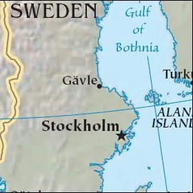 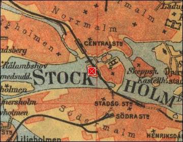 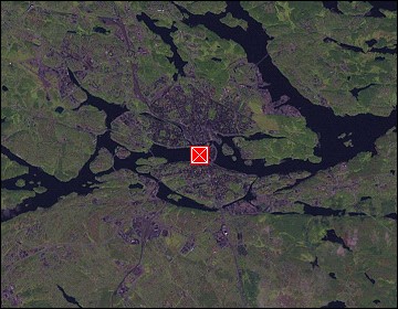 Map references: left: courtesy CIA, middle: historic map of 1912, right: courtesy NASA. This page has been updated on: 2007-Nov-08 |
||