 |
Stockholm: Gamla Stan |
Album Overview
Photo Index
  |
|
More photos in the vicinity: Stockholms Tivoli: Gröna Lund Katarina Kyrka seen from Gröna Lund Sofia Church and Finland Ferry |
Gamla Stan and Slussen seen from the excursion boat. Due to the high latitude of Stockholm the sun stands high in the sky even at 7 pm. |
|
|
Date: Jul 14, 2005 Longitude: 18° 5.67' Latitude: 59° 19.16'  
Show Photo Position in Google Maps |
||
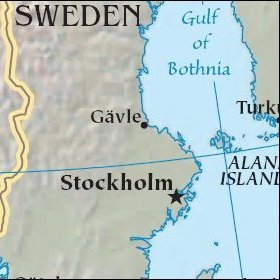 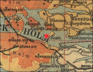  Map references: left: courtesy CIA, middle: historic map of 1912, right: courtesy NASA. This page has been updated on: 2007-Nov-08 |
||