 |
Bretagne: Between Plouha and Le Palus |
Album Overview
Photo Index
  |
|
More photos in the vicinity: View back onto the coastline from Kerouziel to Plage du Palus Rugged coastline close to Kerouziel Close to Kerouziel |
Morning has broken...time to move on.  |
|
|
Date: Jun 10, 2008 Longitude: -2° 53.88' Latitude: 48° 40.56'  
Show Photo Position in Google Maps |
||
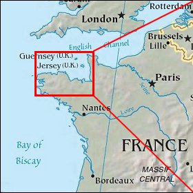   Map references: left: courtesy CIA, middle: courtesy US LoC Map Collection, right: courtesy NASA. This page has been updated on: 2009-Feb-03 |
||