 |
Bretagne: Estuary of the River Trieux |
Album Overview
Photo Index
  |
|
More photos in the vicinity: The "Leaning Tower" of Plougrescant Close to Porz Hir Between Plougrescant and Pointe du Chateau |
In order to reach the land across the estuary, a long walk along the mouth of the river awaits the hiker.  |
|
|
Date: Jun 12, 2008 Longitude: -3° 12.40' Latitude: 48° 50.29'  
Show Photo Position in Google Maps |
||
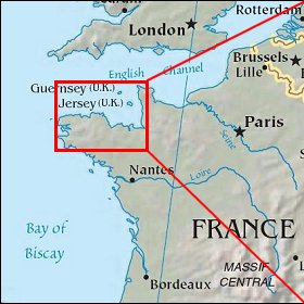 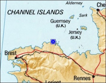 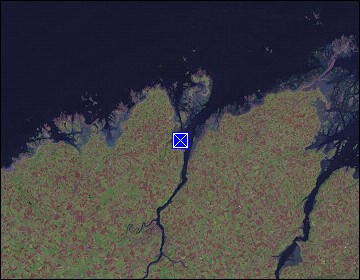 Map references: left: courtesy CIA, middle: courtesy US LoC Map Collection, right: courtesy NASA. This page has been updated on: 2009-Feb-03 |
||