 |
Sal: Espargos seen from the Airport |
Album Overview
Photo Index
  |
|
More photos in the vicinity: Espargos seen from the Airport Igreja Catholica Igreja Nazarena in Espargos |
The dominating structure of Espargos is the radar tower and a few radio transmitters on Monte Curral, a small hill in the center of Espargos. |
|
|
Date: Nov 18, 2007 Longitude: -22° 56.60' Latitude: 16° 44.17'  
Show Photo Position in Google Maps |
||
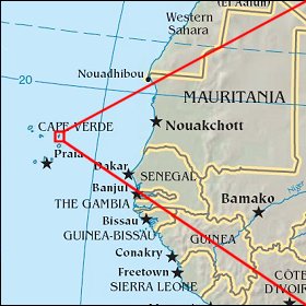 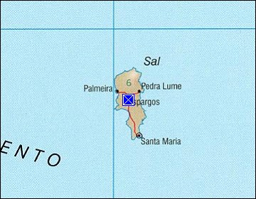 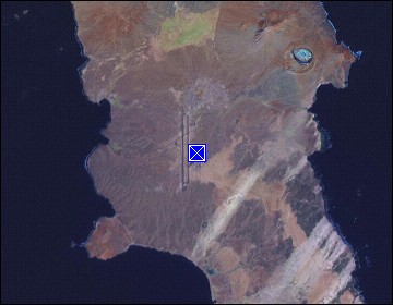 Map references: left: courtesy CIA, middle: courtesy US LoC Map Collection, right: courtesy NASA. This page has been updated on: 2011-Jul-28 |
||