 |
Sal: Salt Lake at Pedra Lume |
Album Overview
Photo Index
  |
|
More photos in the vicinity: Saltworks of Pedra Lume Saltworks of Pedra Lume Saltworks of Pedra Lume |
The Salinas de Pedra Lume developed naturally by a caldeira which sunk below sea level. Sea water is pressed through the porous underground, forming an inland lake where the water evaporates and leaves the salt. |
|
|
Date: Nov 23, 2007 Longitude: -22° 54.14' Latitude: 16° 46.25'  
Show Photo Position in Google Maps |
||
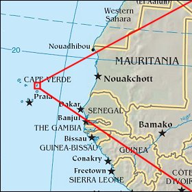 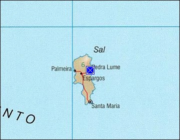 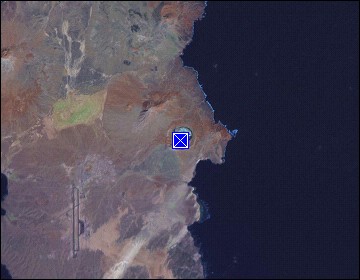 Map references: left: courtesy CIA, middle: courtesy US LoC Map Collection, right: courtesy NASA. This page has been updated on: 2011-Jul-28 |
||