 |
Gran Canaria: Charco de Maspalomas |
Album Overview
Photo Index
  |
|
More photos in the vicinity: Faro de Maspalomas In the Dunes of Maspalomas In the Dunes of Maspalomas II |
This pond is a breeding place for many birds and therefore a natural sanctuary. It is fed by the sea and the waters of the Barranco de Fataga. In the background one can see the jagged Costa Canaria. |
|
|
Date: Nov 16, 2004 Longitude: -15° 35.64' Latitude: 27° 44.16'  
Show Photo Position in Google Maps |
||
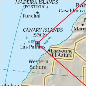   Map references: left: courtesy CIA, middle: courtesy Cicar, right: courtesy NASA. This page has been updated on: 2007-Nov-08 |
||