 |
Gran Canaria: Sunday at Las Canteras |
Album Overview
Photo Index
  |
|
More photos in the vicinity: Walk along Las Canteras Puerto de la Luz Playa de las Canteras |
On a beautiful Sunday in November at the beach of Las Canteras. In the background, just right of the island's north coast one can see the faint shape of Tenerife with its Pico de Teide. |
|
|
Date: Nov 21, 2004 Longitude: -15° 25.92' Latitude: 28° 8.66'  
Show Photo Position in Google Maps |
||
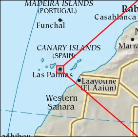 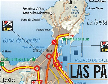  Map references: left: courtesy CIA, middle: courtesy Cicar, right: courtesy NASA. This page has been updated on: 2007-Nov-08 |
||