 |
Gran Canaria: The West Coast |
Album Overview
Photo Index
  |
|
More photos in the vicinity: The West Coast II Faro de Sardina Puerto de las Nieves |
From the Faro de Sardina, the north-west cap of the island, one can see the steep and rocky hills that form the western coast of Gran Canaria. |
|
|
Date: Nov 22, 2004 Longitude: -15° 42.52' Latitude: 28° 9.87'  
Show Photo Position in Google Maps |
||
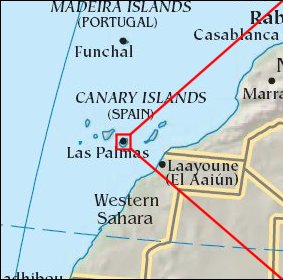 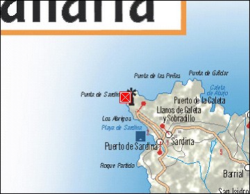  Map references: left: courtesy CIA, middle: courtesy Cicar, right: courtesy NASA. This page has been updated on: 2007-Nov-08 |
||